

Follow the Monuments
What NSRS Modernization Means for Legal Boundary Surveys
NSRS modernization is replacing NAD 83 with a new national reference frame, in Texas, the North American Terrestrial Reference Frame of 2022 (NATRF2022). NATRF2022 coordinates will only be supported using the International Foot definition (1' = 0.3048 m exactly). This follows the U.S. Survey Foot's official deprecation, also effective in 2022. The difference between the two foot definitions is 2 parts per million (ppm).
If you do boundary survey work, this raises a natural question: Does any of this affect retracement and boundary determination? The short answer is the foot unit change does not. The datum shift can, if it's not handled carefully. This guide explains both.
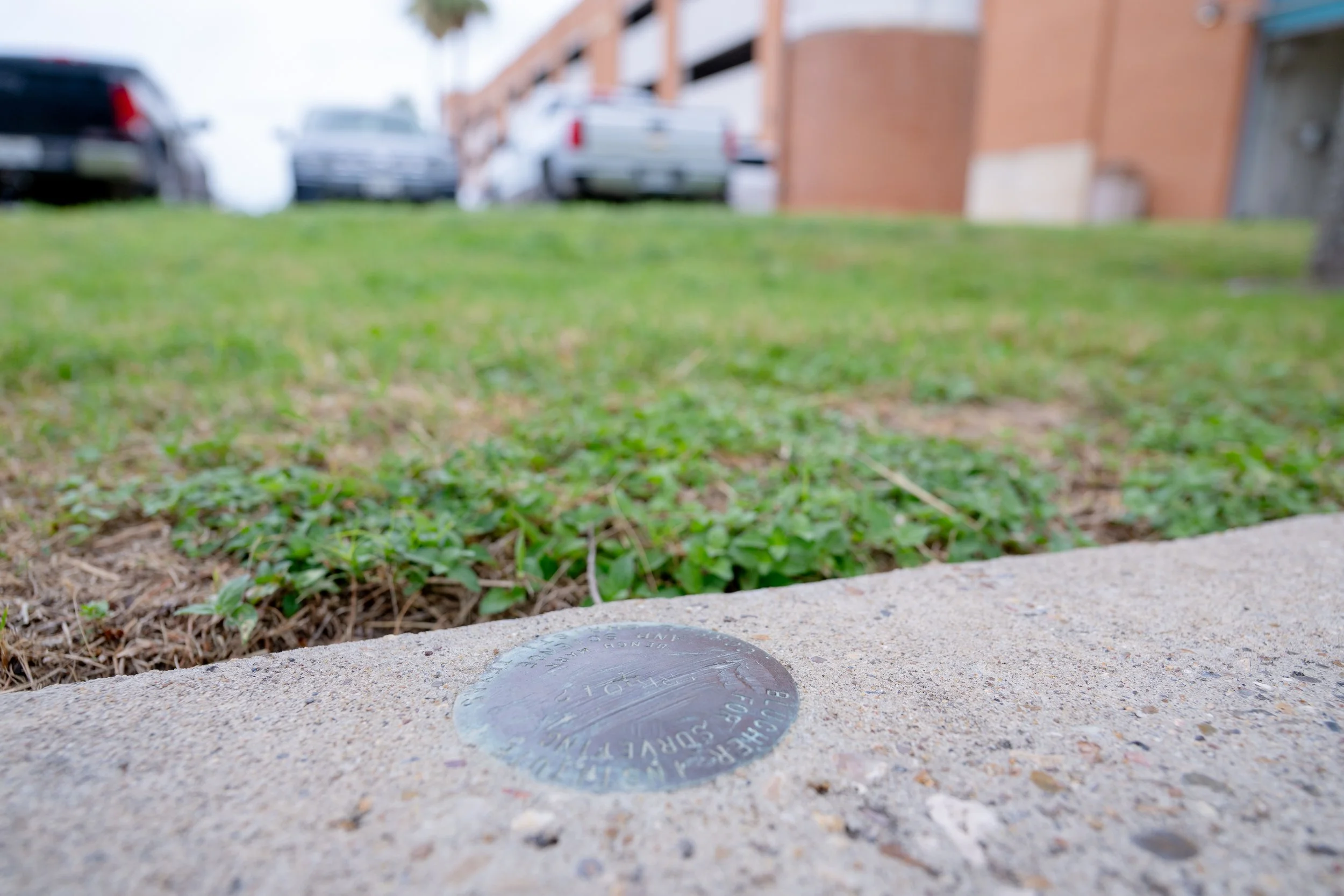
The Ground Didn’t Move
Deed calls are ground distances. A 50 ft lot line is still 50 ft on the ground, regardless of which foot definition is used to express it in a coordinate system.
Over 1,900.8 varas, or 5,280 feet (one mile), the difference between foot definitions amounts to roughly 0.011 ft. Nobody loses a monument because of that.
Monuments Control
Go find them. The deed geometry, the monuments, and the ground are all still telling the same story they always have. Foot deprecation is a non-issue for ground measurements. Your workflow doesn't change: plot the deed, search the ground, and let the monuments speak.
Where Real Risk Lies
The datum shift and mixing up foot definitions in state plane coordinates are the real boundary threats, not the foot deprecation itself.
Coordinates in Texas are shifting by roughly 3.5 to 4 feet horizontally under the modernized reference frame. Feeding NATRF2022 coordinates into NAD 83 control, or vice versa, without proper transformation means you could be several feet off from where you think you are.

Separately, mixing up the U.S. Survey Foot and International Foot within a State Plane coordinate system introduces its own error, one that grows with the size of the coordinate value. Either mistake creates a gap someone will eventually find.
This risk is quiet. Software will not warn you. Check your datum and unit settings on every job, every file, not just once. A data collector or CAD program that silently defaults to the wrong reference frame or foot unit will not throw an error or fail a closure check. It will simply produce coordinates that look completely normal, with points that are multiple feet off and no indication why.
Handled carefully, the datum shift is a non-issue for your boundary work too, the key is getting your transformation and units right, every time.
What This Means for Your Practice

Nothing changes in how you retrace a boundary. Deed calls, monuments, and ground evidence still control, regardless of which datum or foot definition touched the coordinates along the way. Historical plats and recorded legal descriptions tied to NAD 83 or even NAD 27 do not need to be reconciled or reissued; they describe ground positions, not coordinate values.
Time-dependent coordinates are a modernization detail, not a boundary one. A monument tied to CORS today and the same monument tied to CORS five years from now may report slightly different coordinates due to the time-dependent nature of the new reference frame. That has no bearing on where the boundary actually is; the monument hasn't moved in relation to your survey, and it still controls.
If a client or title company asks whether NSRS modernization affects their property boundary, the short answer is no. What it does affect is how new coordinate data should be collected, labeled, and transformed going forward, which is a question for your workflow and your software settings, not for the deed.