
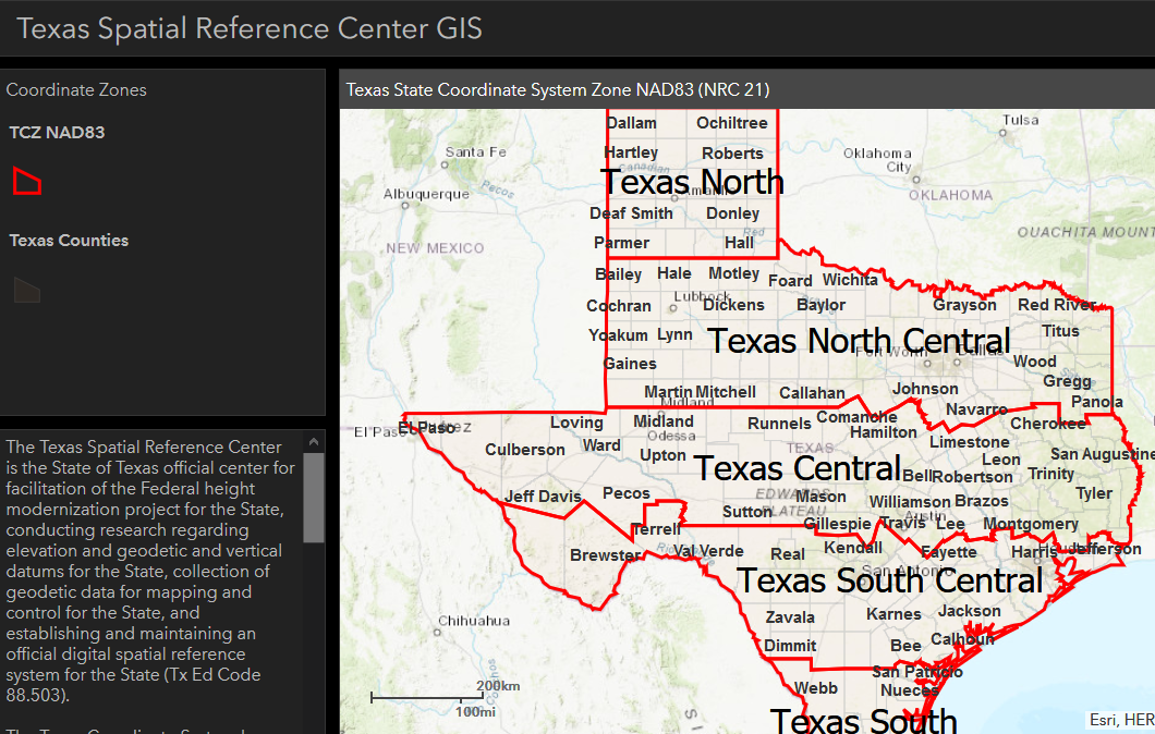
Click on the image to go to the GIS Dashboard
Texas Coordinate System Definition
The Texas Spatial Reference Center is the State of Texas official center for facilitation of the Federal height modernization project for the State, conducting research regarding elevation and geodetic and vertical datums for the State, collection of geodetic data for mapping and control for the State, and establishing and maintaining an official digital spatial reference system for the State (Tx Ed Code 88.503).
The Texas Coordinate System has been established by the National Oceanic Survey / National Geodetic Survey for defining and stating the positions or locations of points on the surface of the earth within the State of Texas. Each system is separate and must be used as such. The purpose for the coordinate system is to recognize a system for use in the State to definitely ascertain positions on the surface of the Earth. The "Texas Coordinate System" is to be used on a map, report, survey or other documentation. (NRC Ch. 21)
The unit of measurement in the State of Texas was established by the National Bureau of Standards as follows (NRC Ch. 21.077):
one meter = 39.37 inches exactly
one foot = 12.00 inches exactly
one vara = 33-1/3rd inches exactly
This Dashboard was created to obtain the definition for each zone for the purpose of precisely defining the Texas Coordinate Systems. Simply highlight the zone in which your project is located to retrieve the definition.