
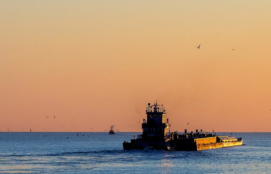
Hydrographic survey work in Texas coastal and offshore waters takes place in one of the most densely instrumented marine environments in the world, with thousands of pipelines, hundreds of lease blocks, multiple overlapping jurisdictions, and data sources that each tell only part of the story. Before a vessel leaves the dock, the research should already be done.
This course maps the full landscape of pre-survey research for Texas coastal and offshore hydrographic work. Developed in partnership with the Conrad Blucher Institute for Surveying and Science and taught by Jim Naismith, RPLS, LSLS, the course grounds every data source in the professional decisions surveyors must make before and during field operations.
Through this course, you will work through federal, state, port authority, and private data sources; evaluate geodetic and datum considerations specific to the Gulf Coast; review nearshore sediment data; and learn how to integrate research findings into a defensible survey deliverable. The course draws on usable data portals, real legal cases, and actual survey reporting examples throughout.