
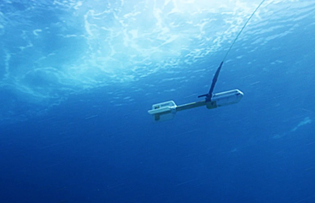
Before a dredge enters the water, someone has to find what's on the bottom. Marine magnetometer surveying is how it gets done, locating steel pipelines, ferrous debris, and submerged hazards that no other nearshore sensor can see. This one-hour CEU, taught by Jim Naismith RPLS, LSLS, walks through the full workflow: from how the instrument measures disturbances in the Earth's magnetic field, to how surveys are conducted and corrected for position, to how anomalies are identified and interpreted in the context of real Gulf Coast operations.
Content is drawn from decades of nearshore Texas hydrographic survey practice and covers the physical theory behind detection, the three main magnetometer types, survey operations and positional corrections, data processing and contour map interpretation, and applied case studies in pipeline hazard assessment, pre-dredge safety surveys, and cultural resource investigations.