
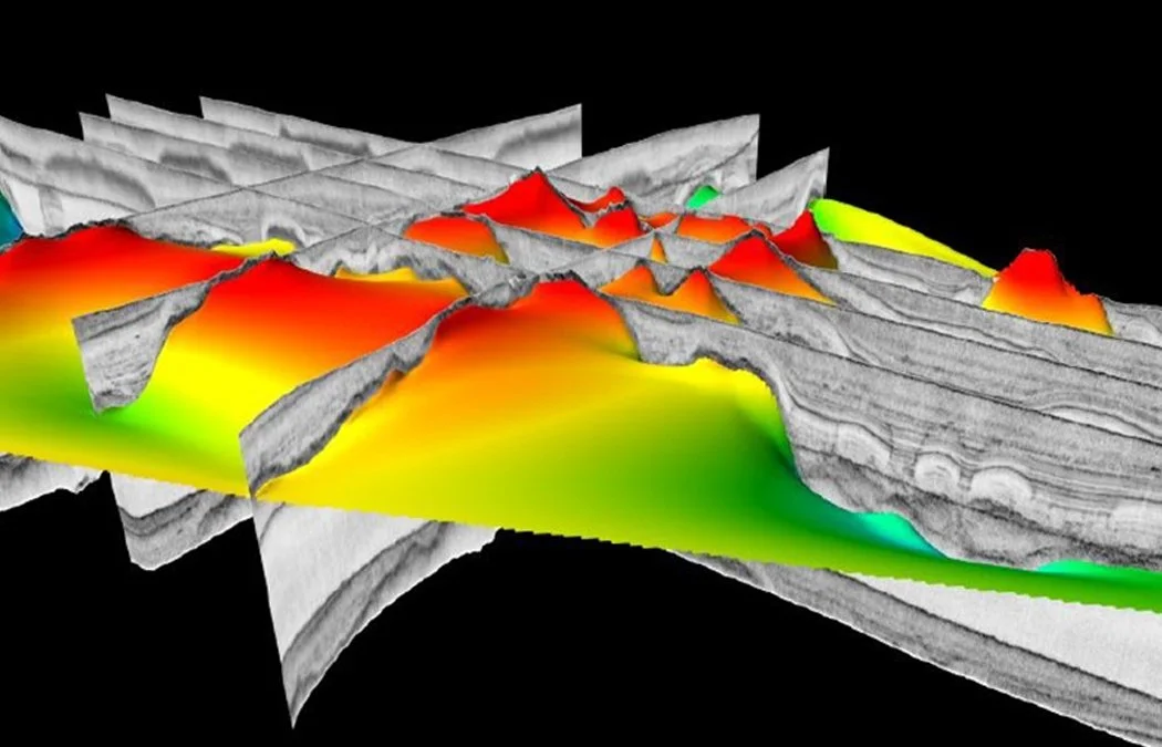
Look beneath the seabed. Sub-bottom profiling is sonar's most complex and revealing tool, used to locate buried pipelines, map ancient landscapes, assess geological hazards, and identify offshore sand and mineral resources. Unlike bathymetry or side-scan sonar, sub-bottom profiling requires more complex processing and interpretation, making it one of the more skill-intensive tools in the hydrographic surveyor's toolkit.
This course introduces sub-bottom profiling, including understanding what the technology does and why it is used,the different profiler types, field positioning corrections, and key applied survey tasks. Content is drawn from real-world coastal survey practice.
You will explore profiler types and frequency trade-offs, towfish positioning geometry, pipeline location and depth-of-cover assessment, buried landscape mapping, and offshore sand sourcing, grounded throughout in professional field context and real survey decision-making.